Data from the "Bird communities" long term monitoring
Data from the "Bird communities" long term monitoring: Monitoring of terrestrial and lagoon birdlife . This device is part of the Montpellier Research Observatory of Environment (OREME, oreme.org).
Simple
- Date (Revision)
- 2026-07-17
- Identifier
-
1924155f-b084-4a6c-b5da-26ec519874a9
- Status
- On going
- Maintenance and update frequency
- data is updated in intervals that are uneven in duration Irregular
-
GEMET
-
AGROVOC
- Theme
-
-
aves
-
Phenology
-
Community composition
-
Species populations
-
Species traits
-
- Access constraints
- limitation not listed Other restrictions
- Other constraints
-
Licence ouverte / Open Licence
- Use limitation
-
These data have been collected by many volunteers for years, compiled by Patrice Cramm and secured by the Centre d'Ecologie Fonctionnelle et Evolutive, and are now supported by OSU OREME. If you use these data, please add the following sentence: "The securing of this data has been supported by the National Center for Scientific Research and OSU OREME - https://oreme.org/ ".
- Use limitation
-
This work is licensed under the Licence ouverte / Open Licence ( https://www.etalab.gouv.fr/licence-ouverte-open-licence )
- Spatial representation type
- vector data is used to represent geographic data Vector
- Metadata language
- EnglishEnglish
- Character set
- 8-bit variable size UCS Transfer Format, based on ISO/IEC 10646 UTF8
))
- Reference system identifier
-
EPSG
/4326
- Topology level
- geometry objects without any additional structure which describes topology Geometry only
- Geometric object type
- bounded, connected 2-dimensional geometric primitive, representing the continuous image of a region of a plane Surface
- Geometric object count
- 5
- Distribution format
-
-
CSV
()
-
- OnLine resource
-
Data on OREME data portal
(
WWW:LINK-1.0-http--link
)
- OnLine resource
-
Information on OREME website
(
WWW:LINK-1.0-http--link
)
- OnLine resource
-
aves_site
(
OGC:WMS
)Stations WMS
Conformance result
- Date (Publication)
- 2010-12-08
- Explanation
-
See the referenced specification
- Pass
- Yes
Conformance result
- Date (Publication)
- 2008-12-03
- Explanation
-
See the referenced specification
- Pass
- Yes
- Statement
-
Parameter categories: Community composition, Species populations, Species populations, Species traits
- File identifier
- 1924155f-b084-4a6c-b5da-26ec519874a9 XML
- Metadata language
- EnglishEnglish
- Character set
- 8-bit variable size UCS Transfer Format, based on ISO/IEC 10646 UTF8
- Hierarchy level
- information applies to the dataset Dataset
- Date stamp
- 2026-07-17T12:00:00
- Metadata standard name
-
ISO 19115:2003/19139
- Metadata standard version
-
1.0
- Dataset URI
-
OSU-OREME-AVES
Overviews
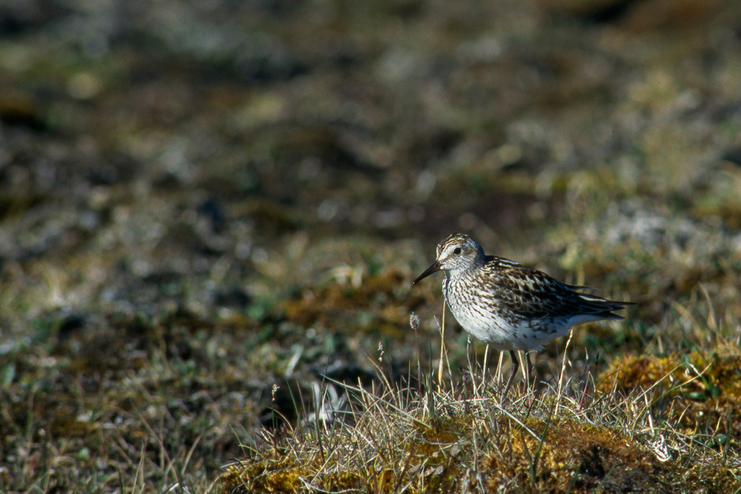
Spatial extent
Provided by