Data from the "Mediterranean-Alpine gradient of forest plots" long term monitoring
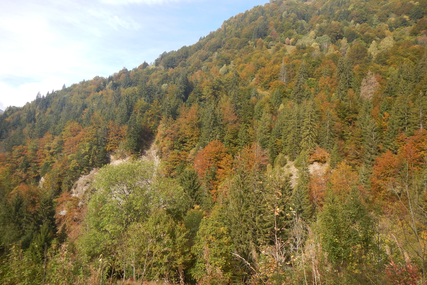
Data from the "Mediterranean-Alpine gradient of forest plots" long term monitoring: Monitoring of a network of forest plots distributed along climatic gradients and under different mixing conditions. This device is part of the Montpellier Research Observatory of Environment (OREME, oreme.org).
Simple
- Date (Revision)
- 2026-07-17
- Identifier
-
23ef7471-e056-40d6-ae15-40f52fe58871
- Status
- On going
- Maintenance and update frequency
- data is updated in intervals that are uneven in duration Irregular
-
GEMET
-
AGROVOC
- Theme
-
-
gmap
-
Phenology
-
Community composition
-
Ecosystem function
-
Ecosystem structure
-
Genetic composition
-
Species populations
-
Species traits
-
- Access constraints
- limitation not listed Other restrictions
- Other constraints
-
Licence ouverte / Open Licence
- Use limitation
-
This work is licensed under the Licence ouverte / Open Licence ( https://www.etalab.gouv.fr/licence-ouverte-open-licence )
- Spatial representation type
- vector data is used to represent geographic data Vector
- Metadata language
- EnglishEnglish
- Character set
- 8-bit variable size UCS Transfer Format, based on ISO/IEC 10646 UTF8
))
- Reference system identifier
-
EPSG
/4326
- Topology level
- geometry objects without any additional structure which describes topology Geometry only
- Geometric object type
- bounded, connected 2-dimensional geometric primitive, representing the continuous image of a region of a plane Surface
- Geometric object count
- 5
- Distribution format
-
-
CSV
()
-
- OnLine resource
-
Data on OREME data portal
(
WWW:LINK-1.0-http--link
)
- OnLine resource
-
Information on OREME website
(
WWW:LINK-1.0-http--link
)
- OnLine resource
-
gmap_site
(
OGC:WMS
)Stations WMS
Conformance result
- Date (Publication)
- 2010-12-08
- Explanation
-
See the referenced specification
- Pass
- Yes
Conformance result
- Date (Publication)
- 2008-12-03
- Explanation
-
See the referenced specification
- Pass
- Yes
- Statement
-
Parameter categories: Community composition, Ecosystem function, Ecosystem structure, Genetic composition, Species populations, Species populations, Species populations, Species traits, Species traits, Species traits
- File identifier
- 23ef7471-e056-40d6-ae15-40f52fe58871 XML
- Metadata language
- EnglishEnglish
- Character set
- 8-bit variable size UCS Transfer Format, based on ISO/IEC 10646 UTF8
- Hierarchy level
- information applies to the dataset Dataset
- Date stamp
- 2026-07-17T12:00:00
- Metadata standard name
-
ISO 19115:2003/19139
- Metadata standard version
-
1.0
- Dataset URI
-
OSU-OREME-GMAP
Overviews
Spatial extent
Provided by