Data from the "Larzac observatory" long term monitoring
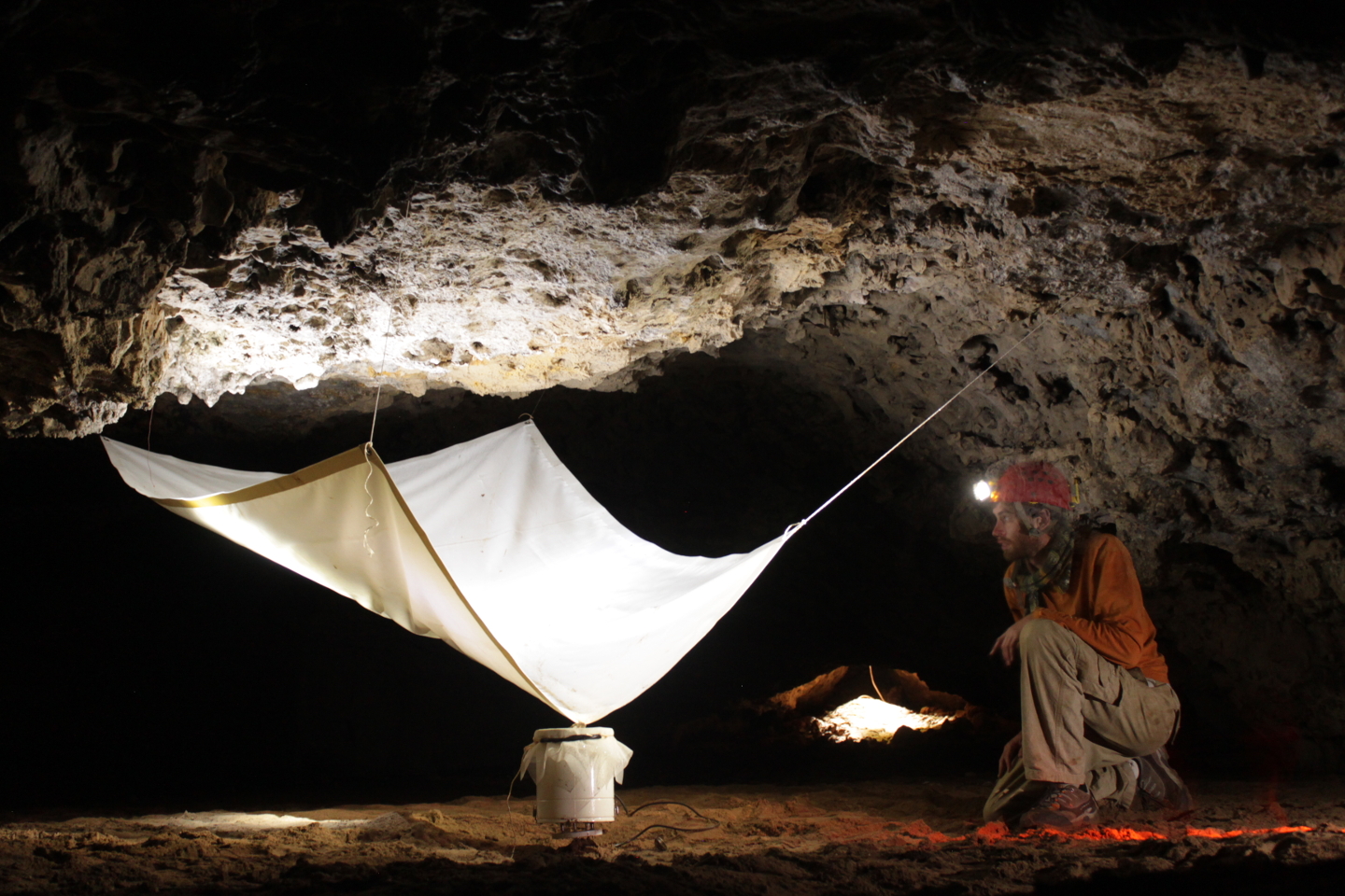
Data from the "Larzac observatory" long term monitoring: Study of the spatio-temporal variations of the water stock in karst environments (Larzac): temperature, water flow, gravimetry, GPS, inclinometry, water vapor, CO2 flow, .... This device is part of the Montpellier Research Observatory of Environment (OREME, oreme.org). It is labelized in the framework of:IR OZCAR, SNO H+.
Simple
- Date (Revision)
- 2026-07-17
- Identifier
-
263fe8c1-81cc-425f-be1a-01276a6df96c
- Status
- On going
- Maintenance and update frequency
- data is updated in intervals that are uneven in duration Irregular
-
GEMET
-
AGROVOC
- Theme
-
-
gek
-
larzac causse
-
Hydrogeophysics
-
IR OZCAR
-
SNO H+
-
Albedo
-
Evaporation from land
-
Groundwater
-
Precipitation
-
Pressure
-
Radiation budget
-
River discharge
-
Temperature
-
Wind speed and direction
-
- Access constraints
- limitation not listed Other restrictions
- Other constraints
-
Licence ouverte / Open Licence
- Use limitation
-
Raw data do not show any guarantee of quality. Higher levels of data are processed and validated for applications in geosciences. Please contact oreme-gek@umontpellier.fr for details on treatments and references.
- Use limitation
-
The reliability and availability of data are not guaranteed and the data can not be used for operational applications.
- Use limitation
-
The agencies or institutions funding data collection and the data centres have to be acknowledged in any publication or communication using the data with the following sentence: "All measurement presented here are from the Larzac observatory, which is the geophysical observatory of karstic water hosted by OSU OREME ( http://www.oreme.org ) and SNO H+ ( http://hplus.ore.fr/ ). Larzac observatory and instrumentation are principally funded by CNRS-INSU, ANR, UM, RESIF and Occitanie region." The reliability and availability of data are not guaranteed and the data can not be used for operational applications.
- Use limitation
-
This work is licensed under the Licence ouverte / Open Licence ( https://www.etalab.gouv.fr/licence-ouverte-open-licence )
- Spatial representation type
- vector data is used to represent geographic data Vector
- Metadata language
- EnglishEnglish
- Character set
- 8-bit variable size UCS Transfer Format, based on ISO/IEC 10646 UTF8
))
- Reference system identifier
-
EPSG
/4326
- Topology level
- geometry objects without any additional structure which describes topology Geometry only
- Geometric object type
- bounded, connected 2-dimensional geometric primitive, representing the continuous image of a region of a plane Surface
- Geometric object count
- 5
- Distribution format
-
-
CSV
()
-
- OnLine resource
-
Data on OREME data portal
(
WWW:LINK-1.0-http--link
)
- OnLine resource
-
Information on OREME website
(
WWW:LINK-1.0-http--link
)
- OnLine resource
-
gek_site
(
OGC:WMS
)Stations WMS
Conformance result
- Date (Publication)
- 2010-12-08
- Explanation
-
See the referenced specification
- Pass
- Yes
Conformance result
- Date (Publication)
- 2008-12-03
- Explanation
-
See the referenced specification
- Pass
- Yes
- Statement
-
Parameter categories: Continuous superconducting relative gravimeter; CTD, Piezometer; Data logger; Electrical sounding; Flux tower; GNSS; Long base tiltmeter; Rain gauge; Seismometer; Temperature and soil humidity sensor
- File identifier
- 263fe8c1-81cc-425f-be1a-01276a6df96c XML
- Metadata language
- EnglishEnglish
- Character set
- 8-bit variable size UCS Transfer Format, based on ISO/IEC 10646 UTF8
- Hierarchy level
- information applies to the dataset Dataset
- Date stamp
- 2026-07-17T12:00:00
- Metadata standard name
-
ISO 19115:2003/19139
- Metadata standard version
-
1.0
- Dataset URI
-
OSU-OREME-GEK
Overviews
Spatial extent
Provided by